Aerial Firefighting Out of Burns Lake Airport
The Lakes District Airport Society has welcomed a Fire Boss flight group and several helicopters to fight the Rose Lake wildfire. These assets are crucial for rapid response and suppression efforts in the region.
The Fleet
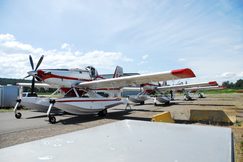
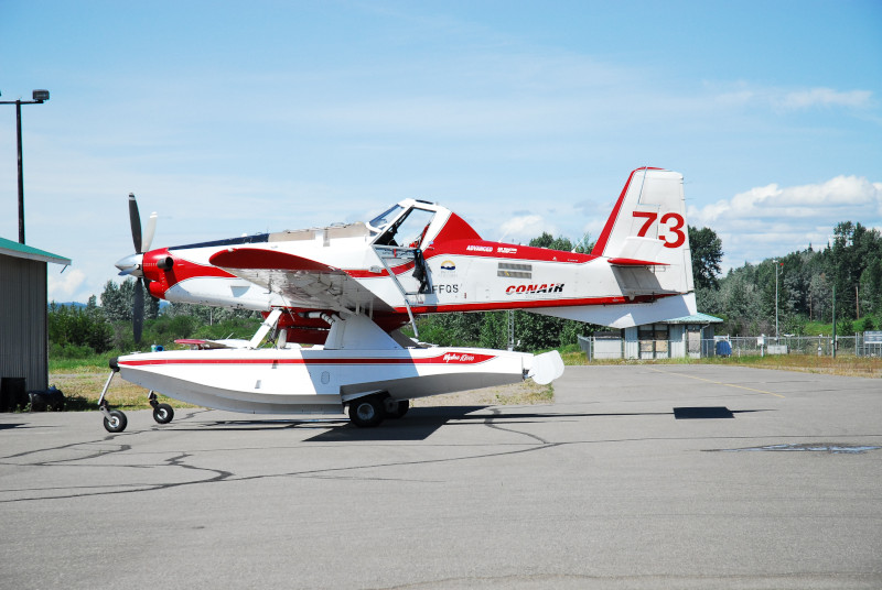
Air Tractor AT-802F "Fire Boss"
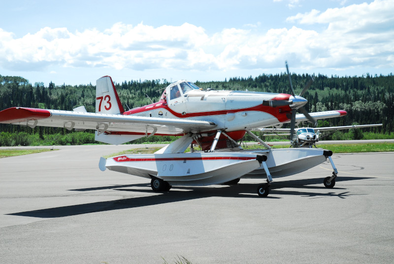
The Air Tractor AT-802F "Fire Boss" is an amphibious air tanker designed for rapid initial attack. Equipped with Wipaire amphibious floats, it can scoop 800 gallons (3,028 liters) of water in approximately 12-15 seconds from nearby lakes, allowing for frequent drops on the fire line without needing to return to the airport to refill. Its agility and ability to operate from both land and water make it a critical asset for protecting the Lakes District, where water sources are abundant.
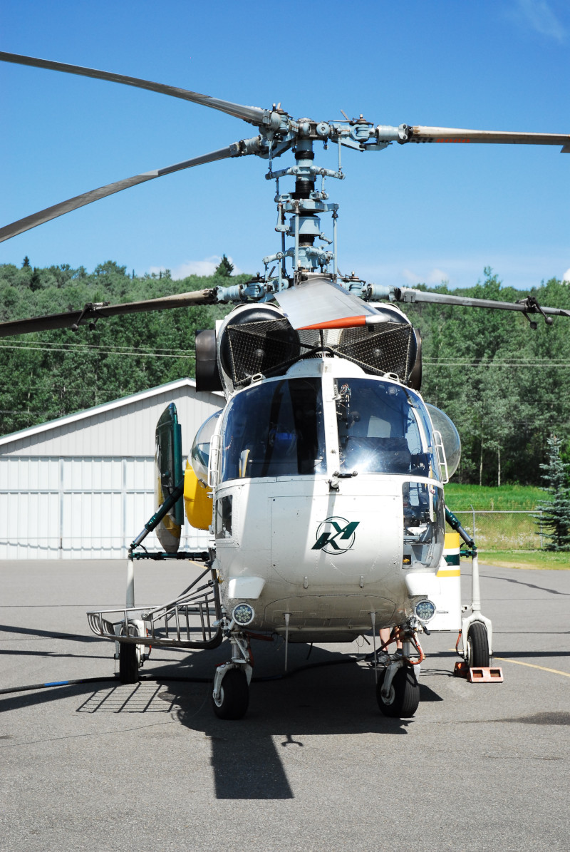
Kamov Ka-32A11BC
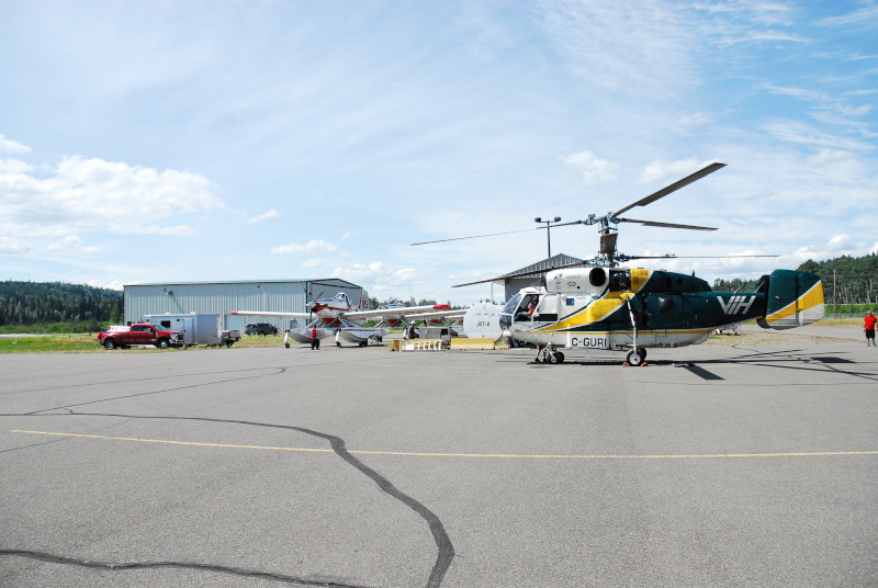
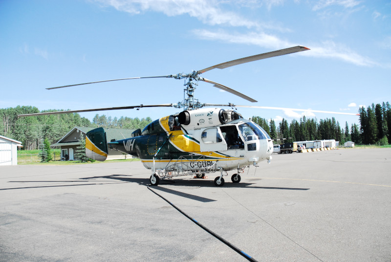
The Kamov Ka-32 (Registration C-GURI shown here, operated by VIH Aviation) is a heavy-lift helicopter featuring a distinctive coaxial rotor system. This unique design eliminates the need for a tail rotor, channeling all engine power to lift and providing exceptional stability in turbulent conditions—common during wildfires. It is capable of lifting up to 11,000 lbs (5,000 kg) externally, making it a powerhouse for delivering large volumes of water via a bucket or transporting heavy equipment to remote areas.
Operations Gallery
 Ground crews preparing the aircraft for the next sortie.
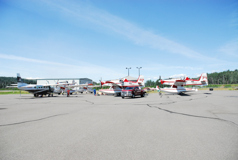
 The busy apron at Burns Lake Airport supporting the wildfire response.